This morning, I awoke, had Part I of breakfast downstairs, then went on to the Mocha Moose to finish the job. Then, I returned to the Alaska Museum of Transportation and Industry to buy the Transrapid 07 model that I had been considering when I went there during the first day of my trip here. My iPhone was running low on space, so I had to start deleting apps again. I took a brief stop at the railroad crossing, because I heard a train horn and figured I’d do a little more train spotting, but the train had already passed.
Today, I would be going to the Independence Mine, which was a continuation of Hatcher Pass from two days prior. The same road that takes you to Hatcher Pass leads you to Independence Mine, except the mine is visible to the right and you take the right-hand fork in the road. The Alaska Department of Natural Resources provides an excellent map of Independence Mine.
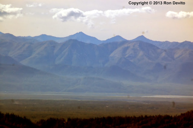
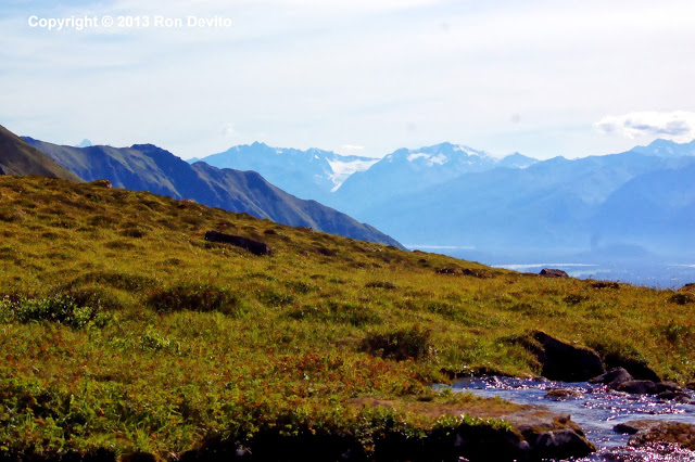
I stopped at the same pull-offs and this time the Matanuska-Susitna Valley was under clear skies.
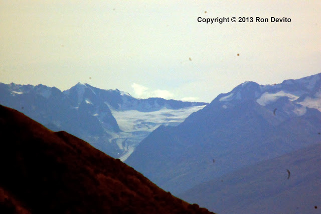
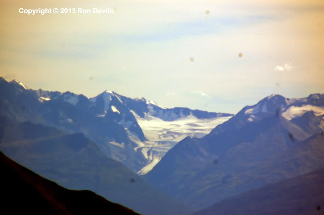
The Marcus Baker Glacier is prominently visible from most points in the Mine…
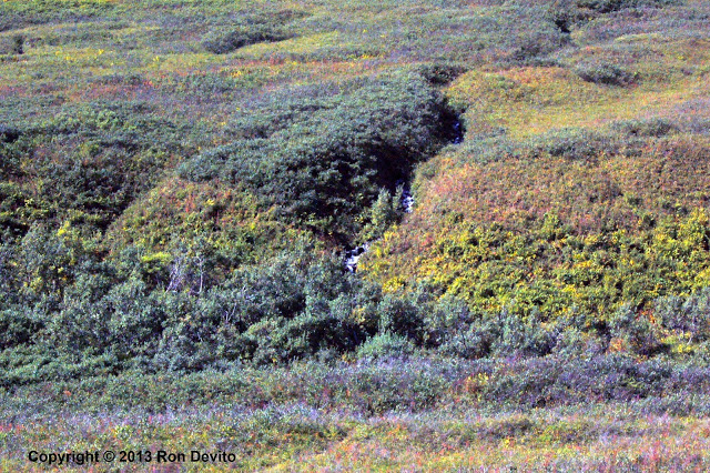
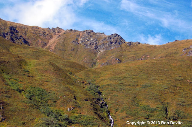
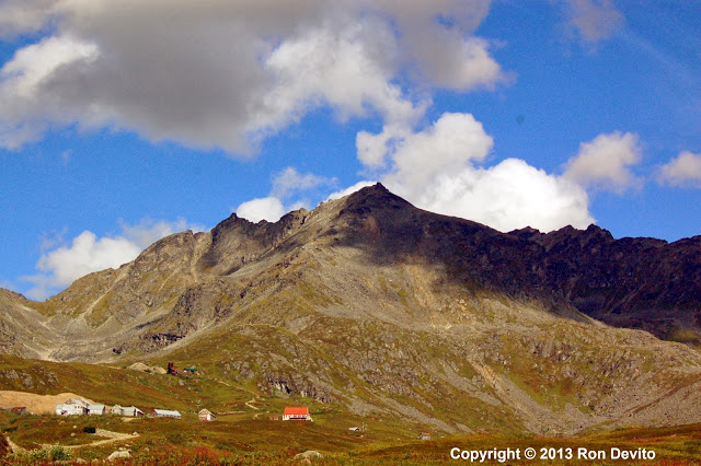
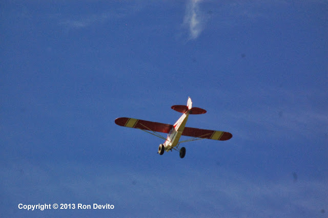
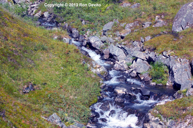
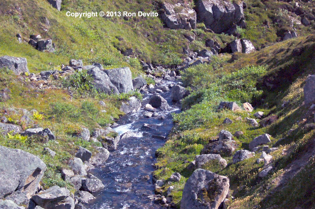
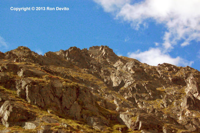
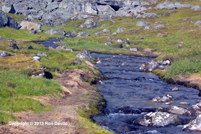
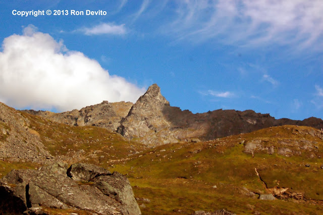
From the pull-off, I went to the first parking lot and there were no envelopes in which to deposit the $5 park fee. I got some paper from another visitor and wrote the license plate number and wrapped it around the $5 and deposited in the receptacle. Independence Mine is in a box canyon with jagged peaks, multiple streams and rivulets. A tail-dragger bush plane, likely a Piper Super Cub – flew overhead….
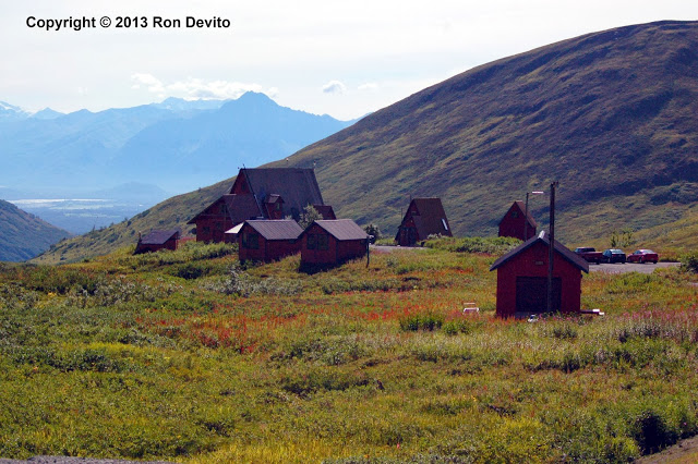
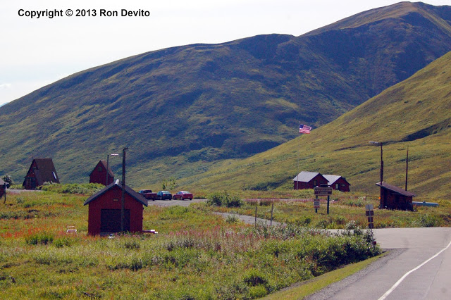
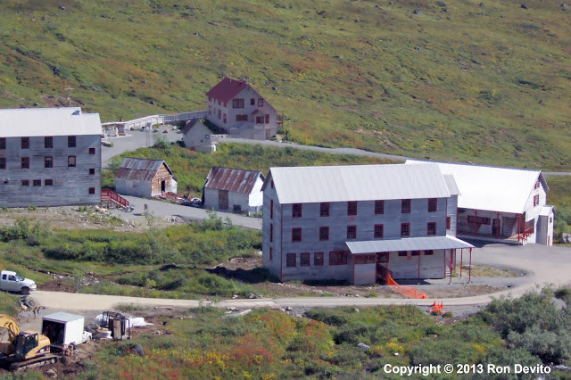
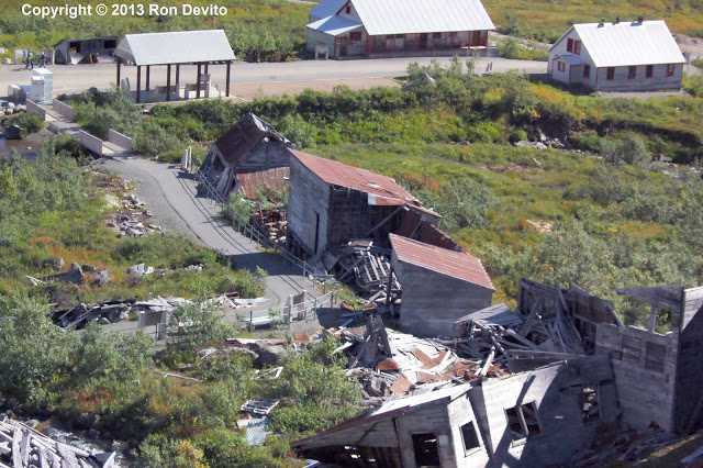
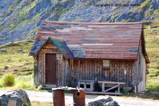
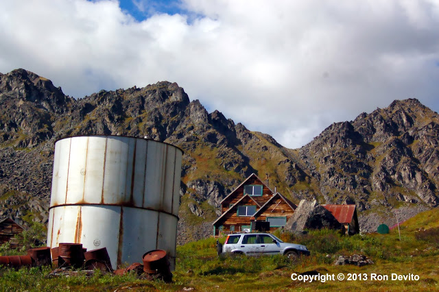
These lodges are still in use today.
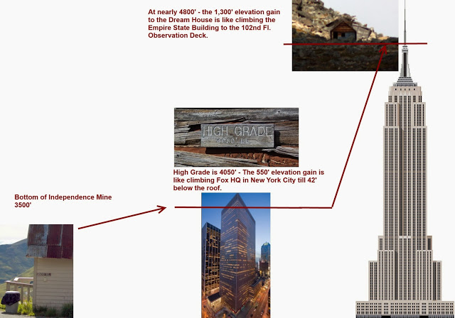
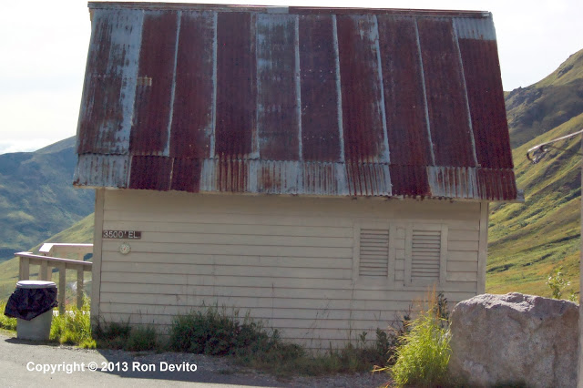
When you arrive to Independence Mine, you are at an elevation of 3,500 feet. This is your starting point.
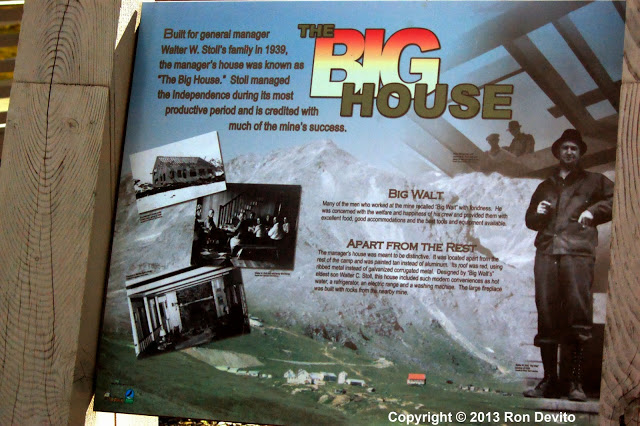
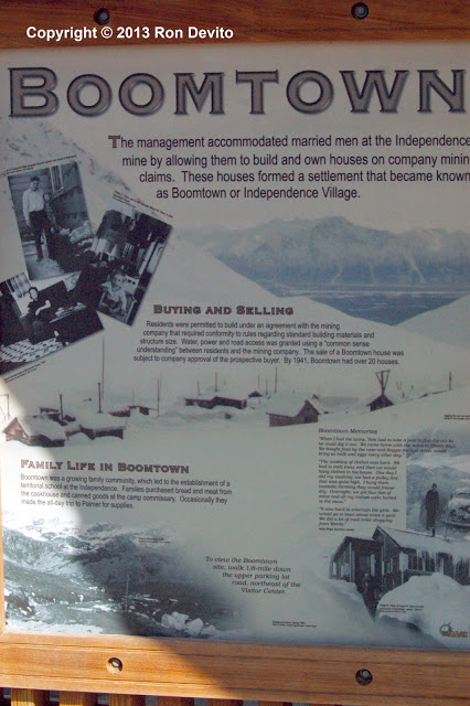
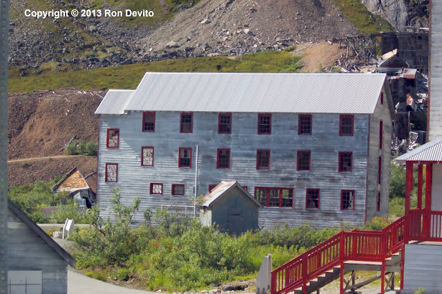
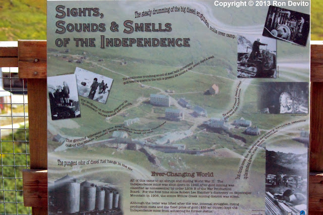
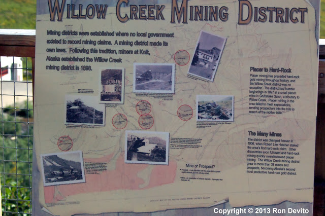
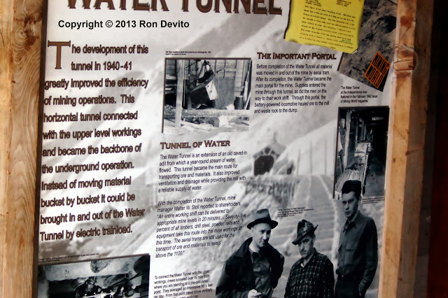
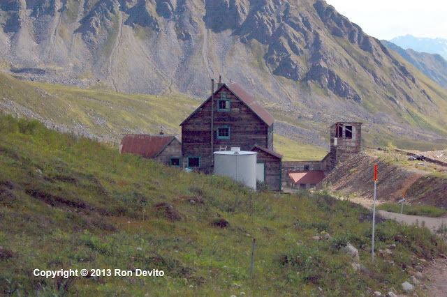
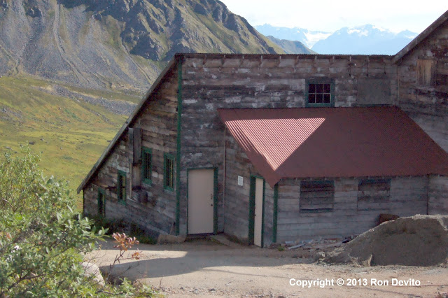
I moved up to the next parking lot and found park fee envelopes. To be safe, I used one and paid again, considering it cheap insurance against possible major problems. I donned my hiking boots and took the camera with only the 60-300 lens, leaving the rest behind. This signage above describes the Mine. The mine bosses lived and worked in the Big House both described and pictured.
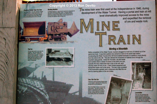
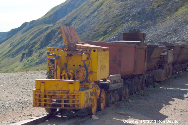
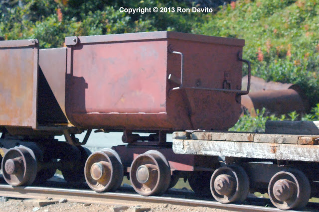
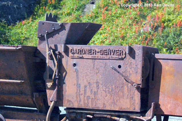
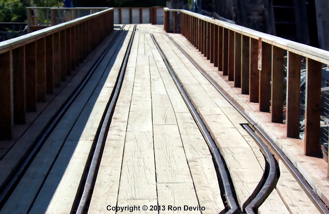
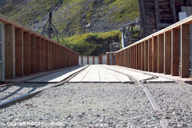
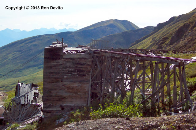
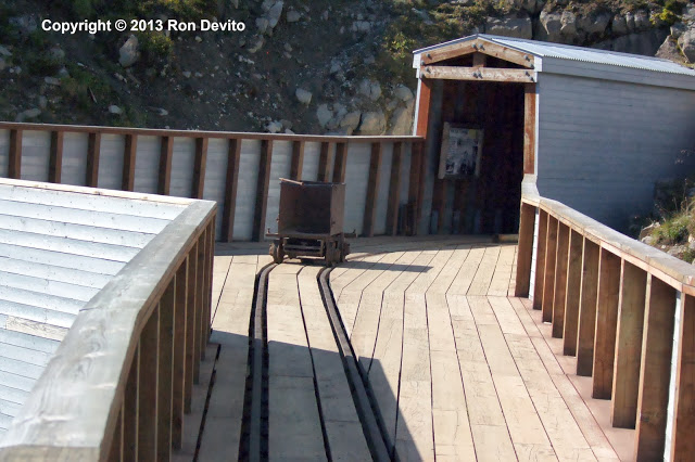
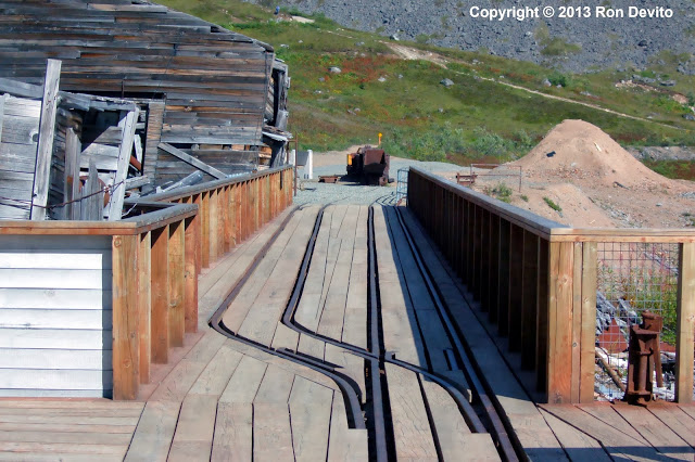
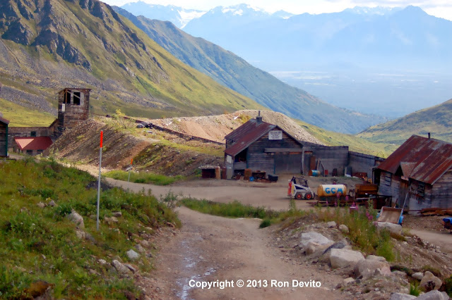
I went around the rear of the houses and up the hill to see the Mine Train and the network of tracks. The Mine Train was a narrow-gauge railroad that was used to haul ore out of the shafts and bring it to the mill for processing.
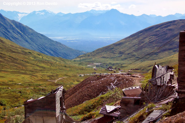
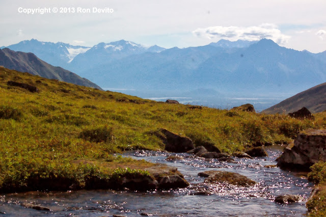
I had already made a significant elevation gain and the view from the mine to the Mat-Su Valley was spectacular.
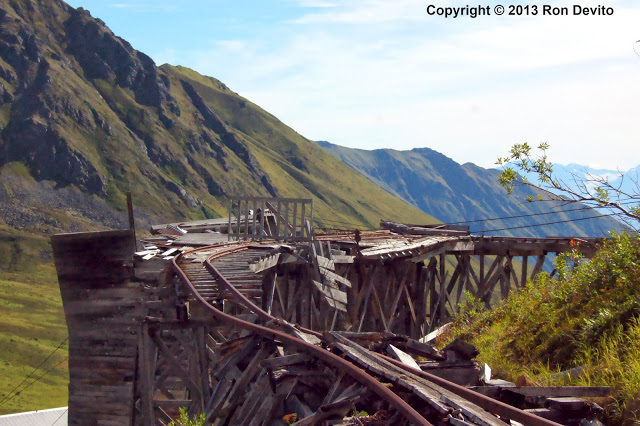
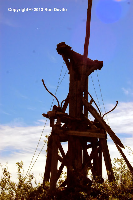
I got more shots of the abandoned railroad and mining infrastructure then ventured north to the rear of the canyon. I would later learn that I was supposed to descend from here back to the parking lot, then follow the trail back up to the Mill.
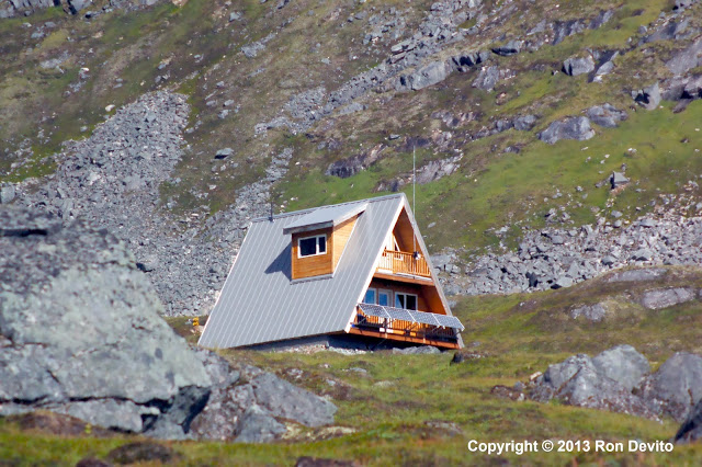
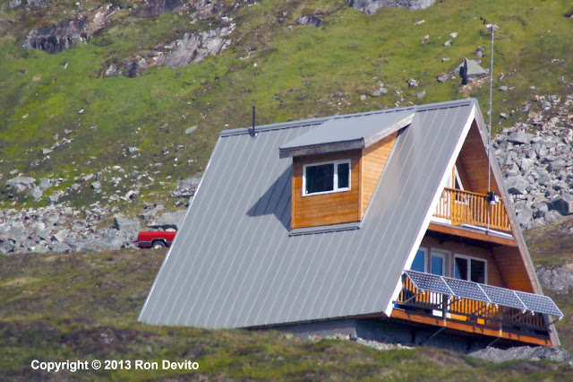
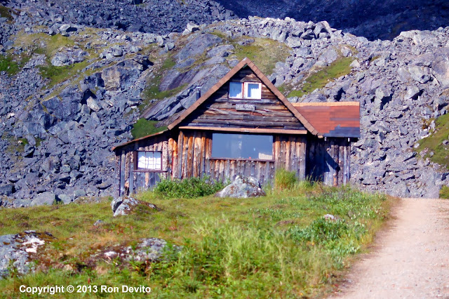
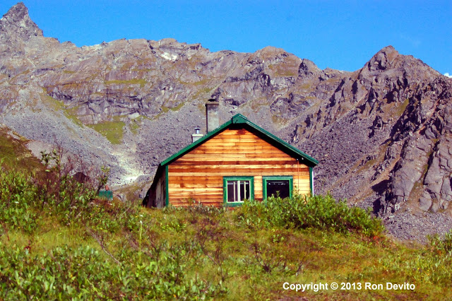
I continued my trek deeper into the canyon. To reach the chalet pictured, I had to ford the stream. I was alone and I knew it was risky. One slip and I would be knocked over onto the rocks and destroy my camera. I made certain I was sure of my footing and forded the stream without incident….
The Marcus Baker Glacier simply fascinates me. I could not stop taking photos of it.
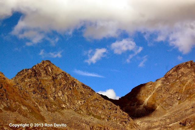
I was similarly fascinated by how the clouds cast shadows on the peaks and created beautiful lighting effects.
The chalet – which I would later discover is on private property was drawing near….
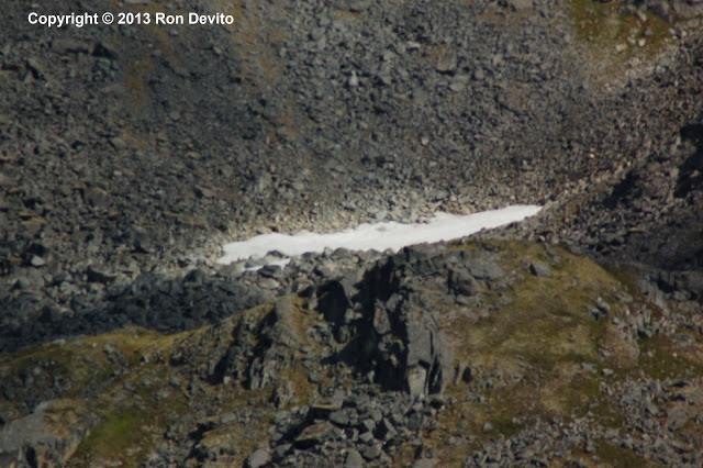
I noticed some fresh snow in a little basin on the side of the mountain…
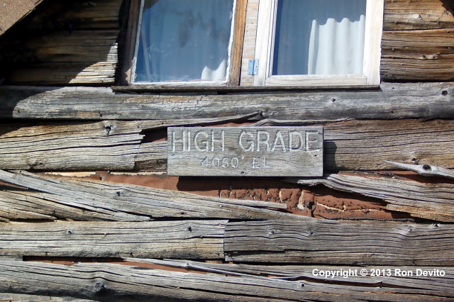
I made it to High Grade. I had gained 550 feet in elevation – equivalent to climbing Fox News Headquarters in New York City to 42 feet below the roof. High Grade is on private property.
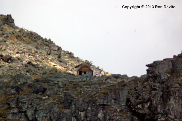
A miner offered to direct me to the trail leading up to the Dream House. In this private property area, there are active gold claims. He told me the trip would have taken an hour each way up and down. The path to the Dream House is all trail and no rock scrambling. The Dream House stood enticingly up near the top of the mountain – about 750 to 800 feet above my elevation. From my starting point in the parking lot, going to the Dream House would have been equivalent to climbing the Empire State Building to the 102nd Fl. Observatory. My goal of reaching the Mill had been achieved. Adding the Dream House was very tempting.
I remembered that Chuck Heath, Jr. had been up there with his sons Teko and Kier. They lost track of time and barely made it down from the Dream House to the park gate in record time as the ranger was getting ready to close the gate for the night. Chuck Heath, Jr. knows this place like the back of his hand. I’m a neophyte and I was alone. I looked at the clock on my phone. I knew it would take me longer than two hours round trip. I politely declined. I could not take the risk of being locked in the Mine overnight. My camera battery was dying too.
The Dream House is a place I need to come back to one day… This is the view from the Dream House, as Chuck Heath, Jr. saw it.
I climbed a little to the right of High Grade, so I could claim an elevation gain of 600 feet even. That would be my summit for the day.
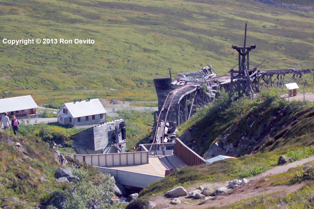
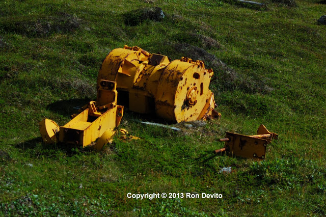
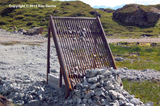
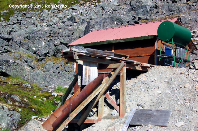
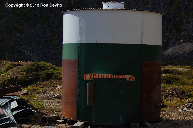
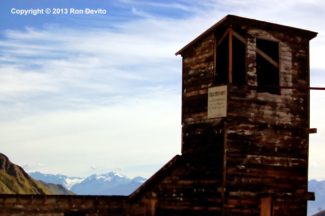
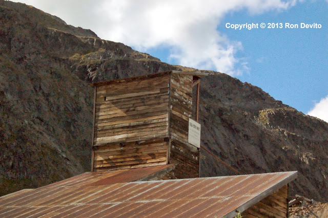
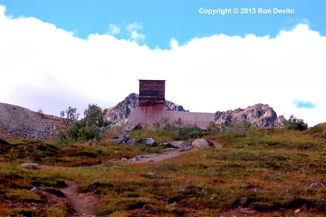
The Mill had been my original goal and I finally made it here; the route I took was circuitous, but scenic and well-worth it. I got lots of photos of the Mill, equipment and infrastructure.
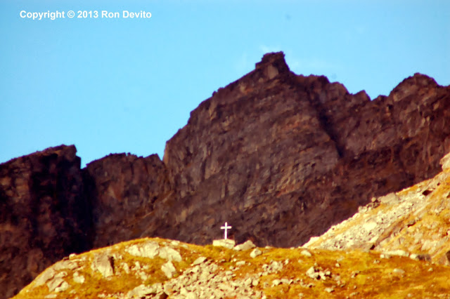
As I walked down the trail to the parking lot, I spotted this cross out of the corner of my eye. I zoomed in. Apparently, someone associated with Independence Mine had died and was buried up there.
My time at Independence Mine drew to a close. I doffed the hiking boots – this would be the last time I would be using them in the course of my trip.

